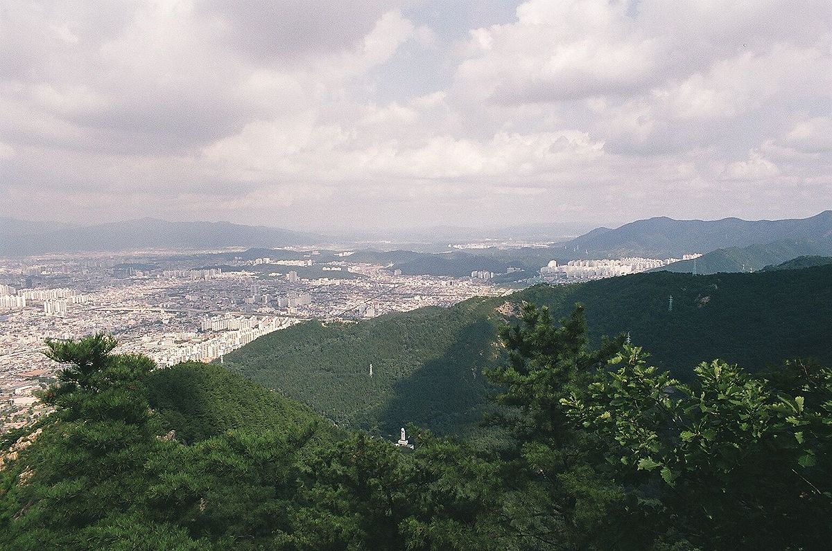
Apsan Park: Daegu's Mountain Backyard
Rising dramatically from the southern edge of Daegu's urban area, Apsan Park combines a forested mountain retreat, cable car, and sweeping city views — the park where Daegu residents go to escape the basin heat and recalibrate.
Photo: Wikipedia Commons
What Is Apsan Park?
Apsan Park (앞산공원) is a large forested mountain park on the southern edge of Daegu, centred on Apsan Mountain (앞산, 660 metres above sea level). The park covers an expansive area of pine and mixed forest, with multiple hiking trails of varying difficulty, a cable car to the near-summit, observation platforms, and recreational facilities. The name 'Apsan' means 'front mountain' — it rises directly at the city's southern boundary, visible from most of central Daegu. The park is one of the most heavily used green spaces in the city and functions as Daegu residents' primary natural refuge from the intense heat of summer in the Daegu Basin.
History & Significance
Apsan has been central to Daegu's cultural geography for centuries. During the Korean War, the mountain range of which Apsan is part formed part of the Nakdong River Defence Line — the perimeter of the Busan Perimeter that held during the early desperate months of the war. A memorial to the Korean War stands within the park, and the route to the summit passes near areas that saw fighting in 1950. The mountain's forests were replanted following the destruction of the colonial and wartime periods, and the park as a recreational destination developed rapidly from the 1970s onward. Today it is one of the most-visited urban mountain parks in Gyeongsang Province.
What to See & Do
The cable car (앞산케이블카) runs to a station near the summit and is the most popular way to reach the top — the ascent takes 8 minutes and the views of Daegu's basin expand dramatically with altitude. From the cable car upper station, the full scale of how large Daegu actually is becomes apparent: the city stretches in every direction, contained by the surrounding mountain ridges. The hiking trails below the cable car range from easy forest walks (30–60 minutes) to full ridge traversals (4–6 hours). The park's lower area contains picnic grounds, outdoor fitness equipment, and a small folk village museum (대구 앞산 낙동강 승전 기념관) commemorating the Korean War defence.
Visitor Tips
Take the cable car up and hike down through the pine forest — the uphill cable car ride saves energy for the descent, and the downhill walk through the trees is significantly more pleasant than ascending on foot. The cable car operates from 10am daily (check seasonal closing times). On clear days, the summit view extends to Palgongsan to the north and the valley toward Gyeongju to the east. The park is best visited in spring (April) for cherry blossoms along the approach road and in autumn (October–November) for foliage. From central Daegu (Banyawol Station, Line 1), the park entrance is about a 15-minute walk or short taxi ride.
Tips
- 💡Take the cable car up and hike down through the pine forest — far better than ascending on foot.
- 💡The city view from the top on a clear day shows the full scale of how large Daegu actually is.
- 💡Visit in April for cherry blossoms along the approach road, or October for autumn foliage.
최종 수정: 2026년 4월 1일
이런 글도 있어요
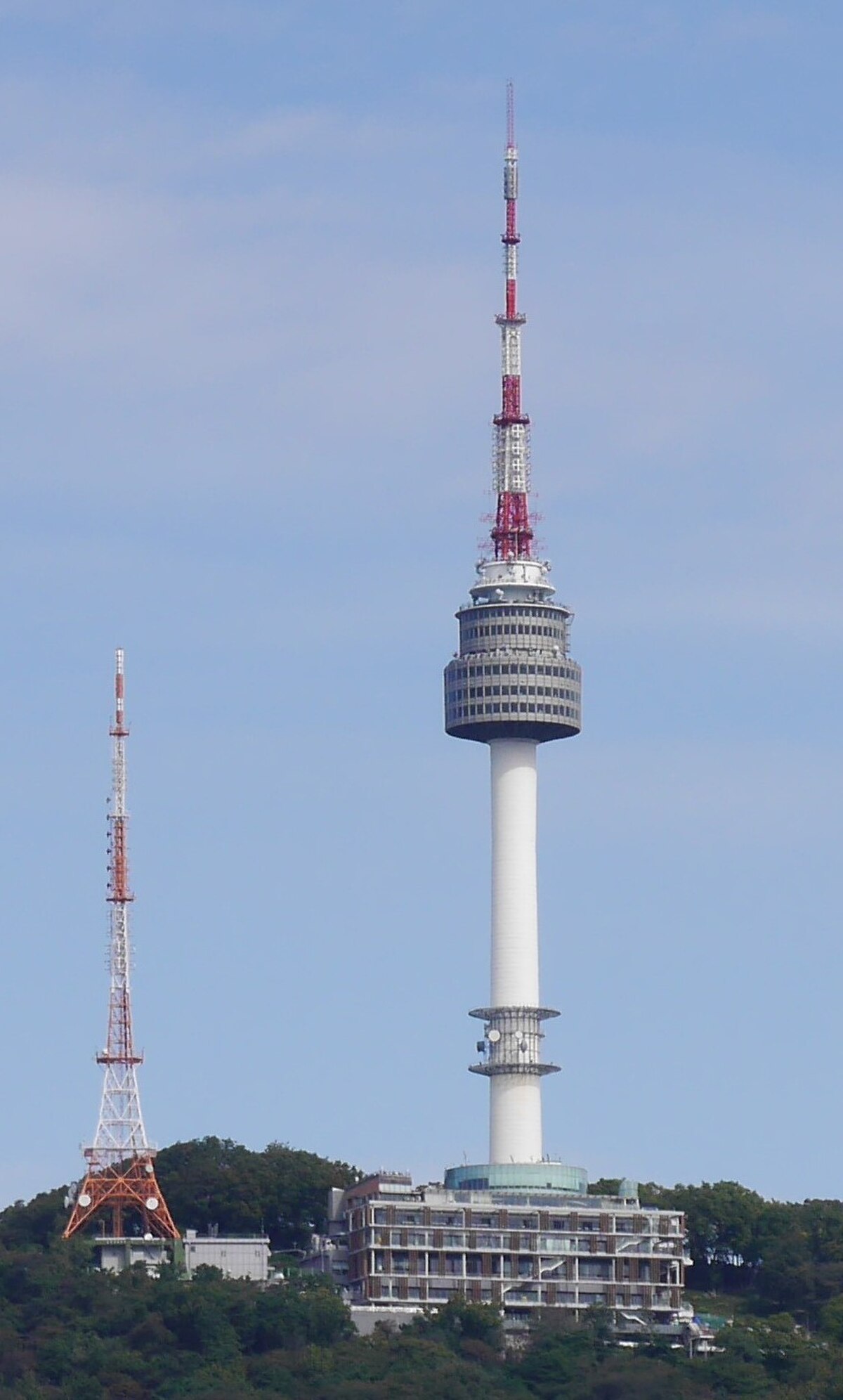
N Seoul Tower: Seoul's Most Iconic Landmark
Perched atop Namsan mountain, N Seoul Tower offers breathtaking 360-degree views of the city and has become a beloved symbol of Seoul's modern romance.
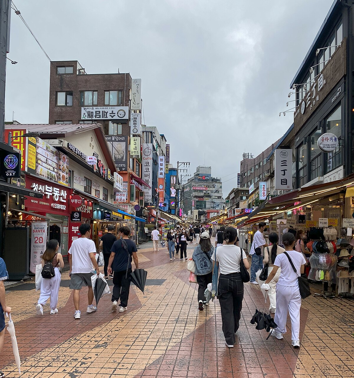
Hongdae: Seoul's Creative Youth Capital
Seoul's most vibrant arts and nightlife district, Hongdae pulses with indie music, street performances, quirky cafés, and the creative energy of Korea's top arts university.
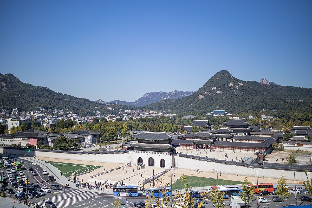
Gyeongbokgung: Seoul's Grand Joseon Palace
The largest and most magnificent of Seoul's Five Grand Palaces, Gyeongbokgung served as the heart of the Joseon Dynasty for over 500 years.